
|

|
Images 691 to 720 of 1801 |

|

|
 |
 |
 |
 |
 |
|
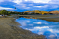 |
| Paremata, Pauatahanui, Porirua Hbr |
 |
 |
|
|
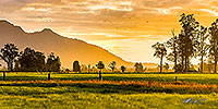 |
| West Coast Dairy farmland, Hokitika |
 |
 |
|
|
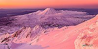 |
| Mt Ngauruhoe, Tongariro NP |
 |
 |
|
|
 |
| Aoraki Mt Cook from Hokitika Westland |
 |
 |
|
|
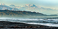 |
| Aoraki Mt Cook from Hokitika Westland |
 |
 |
|
|
 |
| Sunrise over Te Mata Peak |
 |
 |
|
|
|
|
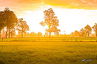 |
| West Coast Dairy farmland, Hokitika |
 |
 |
|
|
 |
| Mana Island sunset, Porirua |
 |
 |
|
|
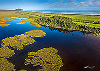 |
| Shearer Swamp, Ross, Westland |
 |
 |
|
|
 |
| Rainforest canopy, South Westland |
 |
 |
|
|
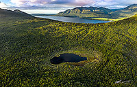 |
| Manks Tarn, Lake Kaniere, Hokitika |
 |
 |
|
|
|
|
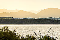 |
| Lake Mahinapua dawn, Hokitika |
 |
 |
|
|
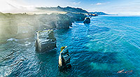 |
| Tongaporutu Coast, North Taranaki |
 |
 |
|
|
 |
| Hilly farmland, Wellington |
 |
 |
|
|
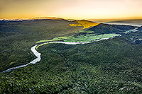 |
| Mokihinui River, Seddonville, Buller |
 |
 |
|
|
|
|
|
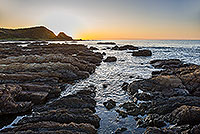 |
| Titahi Bay coastline, Porirua |
 |
 |
|
|
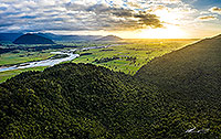 |
| Hokitika Dairy country and forest |
 |
 |
|
|
|
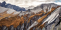 |
| Shotover River rugged headwaters |
 |
 |
|
|
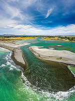 |
| Tutaekuri and Ngaruroro Rivers, Hawke |
 |
 |
|
|
|
|
|
|

|

|
Images 691 to 720 of 1801 |

|

|
 |
 |
 |
 |
 |
|

![]()
![]()
![]() | Contact Us | Blog
| Contact Us | Blog