|
|
 |
| Marlborough Sounds panorama |
 |
 |
|
|
|
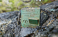 |
| Hydrographic Survey Bench Mark |
 |
 |
|
|
|
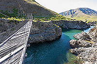 |
| Students' Suspension Bridge |
 |
 |
|
|
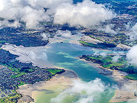 |
| Weymouth Takanini Manukau Hbr aerial |
 |
 |
|
|
 |
| The Beehive & Turnbill House |
 |
 |
|
|
|
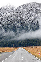 |
| Milford Highway 94, Eglinton Valley |
 |
 |
|
|
 |
| Clouds above Central Otago |
 |
 |
|
|
|
|
|
|
 |
| Aerial view of Wellington |
 |
 |
|
|
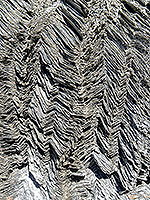 |
| Folded rock layers, Shotover Valley |
 |
 |
|
|
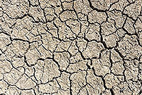 |
| Dry soil, drought conditions |
 |
 |
|
|
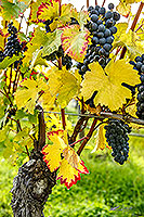 |
| Pinot noir grapes ready for harvest |
 |
 |
|
|
 |
| Shotover River, Otago high country |
 |
 |
|
|
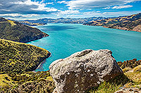 |
| Akaroa harbour, Banks Peninsula |
 |
 |
|
|
 |
| Whatipu, Manukau Harbour, Awhitu |
 |
 |
|
|
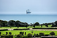 |
| Oil rig, North Taranaki Bight, Urenui |
 |
 |
|
|
|
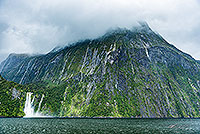 |
| Stirling Falls, Milford Sound |
 |
 |
|
|
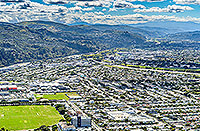 |
| Hutt Valley, Petone, Ava, Alicetown |
 |
 |
|
|
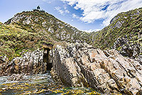 |
| Nugget Point lighthouse, Catlins |
 |
 |
|
|
|
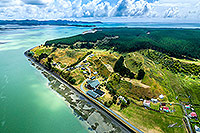 |
| Kawhia, and Maketu Marae, Waikato |
 |
 |
|
|

![]()
![]()
![]() | Contact Us | Blog
| Contact Us | Blog