 |
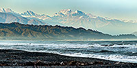
| Aoraki Mt Cook from Hokitika Westland |
 |
 |
|
|
|
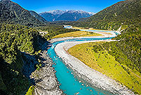 |
| Whataroa River, West Coast |
 |
 |
|
|
|
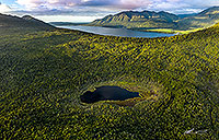 |
| Manks Tarn, Lake Kaniere, Hokitika |
 |
 |
|
|
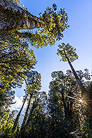 |
| Rainforest canopy, South Westland |
 |
 |
|
|
|
 |
| Okarito walkway, Westland N.P. |
 |
 |
|
|
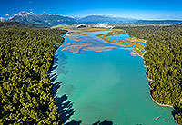 |
| Lake Rotokino, South Westland |
 |
 |
|
|
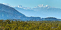 |
| Main Divide from Westland, Ross |
 |
 |
|
|
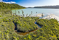 |
| Lake Wahapo, South Westland |
 |
 |
|
|
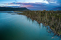 |
| Lake Wahapo, South Westland |
 |
 |
|
|
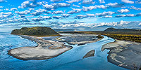 |
| Wanagnui River Heads, South Westland |
 |
 |
|
|
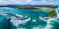 |
| Wanagnui River Heads, South Westland |
 |
 |
|
|
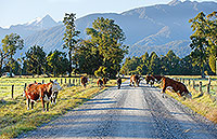 |
| Cattle grazing on roadside |
 |
 |
|
|
|
|
|
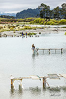 |
| Whitebaiting, Hokitika River, Westland |
 |
 |
|
|
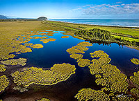 |
| Shearer Swamp, Ross, Westland |
 |
 |
|
|
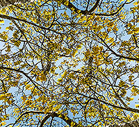 |
| Kowhai tree flowers pattern |
 |
 |
|
|
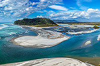 |
| Wanagnui River Heads, South Westland |
 |
 |
|
|
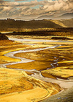 |
| Wanganui River lower reaches, South W |
 |
 |
|
|
|
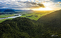 |
| Hokitika Dairy country and forest |
 |
 |
|
|
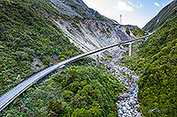 |
| Otira Viaduct, Arthurs Pass |
 |
 |
|
|
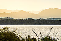 |
| Lake Mahinapua dawn, Hokitika |
 |
 |
|
|
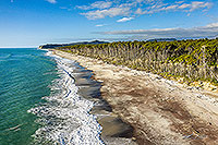 |
| Bruce Bay, South Westland |
 |
 |
|
|
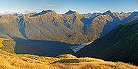 |
| Haast River valley panorama |
 |
 |
|
|
|

![]()
![]()
![]() (1) | Contact Us | Blog
(1) | Contact Us | Blog