 |
| Maketu township, Bay of Plenty |
 |
 |
|
|
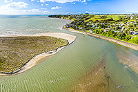 |
| Maketu Estuary, Bay of Plenty |
 |
 |
|
|
 |
| Kopuatai Wetland and peat dome, Hauraki |
 |
 |
|
|
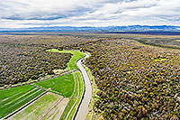 |
| Kopuatai Wetland and peat dome, Hauraki |
 |
 |
|
|
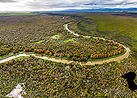 |
| Kopuatai Wetland and peat dome, Hauraki |
 |
 |
|
|
 |
| Kopuatai Wetland and peat dome, Hauraki |
 |
 |
|
|
 |
| Kopuatai Wetland and peat dome, Hauraki |
 |
 |
|
|
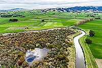 |
| Kopuatai Wetland and peat dome, Hauraki |
 |
 |
|
|
|
|
 |
| South Waikato farmland and forest |
 |
 |
|
|
|
|
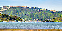 |
| Pauatahanui Inlet, Porirua |
 |
 |
|
|
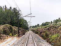 |
| North Is Main Trunk Line, Ohakune |
 |
 |
|
|
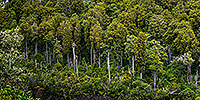 |
| Native forest panorama, podocarp |
 |
 |
|
|
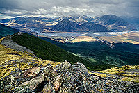 |
| Mountain & rivers, Arthur's Pass |
 |
 |
|
|
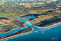 |
| Waimakariri Rv mouth, Kaiapoi |
 |
 |
|
|
 |
| Porirua City from Titahi Bay |
 |
 |
|
|
 |
| Tree fern canopy, vertical panorama |
 |
 |
|
|
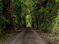 |
| Forest road cutting and forest arch |
 |
 |
|
|
|
|
|
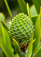 |
| Kauri tree cone and seeds |
 |
 |
|
|
 |
| Waikato farmland, wetland and forest |
 |
 |
|
|
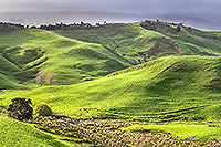 |
| Waikato farmland, wetland and forest |
 |
 |
|
|
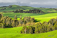 |
| Waikato farmland and forest remnants |
 |
 |
|
|
|
|

![]()
![]()
![]() | Contact Us | Blog
| Contact Us | Blog