 |
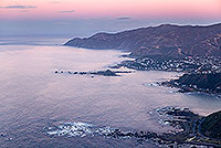
| Wellington South Coast dawn |
 |
 |
|
|
|
|
|
 |
| Porirua City from Titahi Bay |
 |
 |
|
|
|
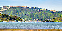 |
| Pauatahanui Inlet, Porirua |
 |
 |
|
|
 |
| Porirua Harbour entrance, Plimmerton |
 |
 |
|
|
|
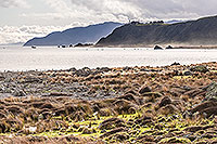 |
| Baring Head from Turakirae Head, Wellington |
 |
 |
|
|
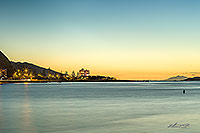 |
| Eastbourne dusk, Wellington |
 |
 |
|
|
|
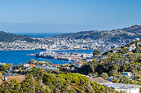 |
| Wellington City from Khandallah |
 |
 |
|
|
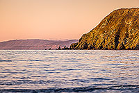 |
| Mana Island coast, Porirua |
 |
 |
|
|
 |
| Wgtn CDB, beehive and Railway Stn aerial |
 |
 |
|
|
 |
| Wellington CBD aerial view |
 |
 |
|
|
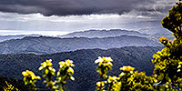 |
| Wellington from N Remutaka Range |
 |
 |
|
|
|
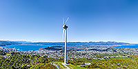 |
| Wellington's Brooklyn Hill wind turbine |
 |
 |
|
|
|
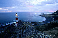 |
| Cape Palliser Lighthouse sunset |
 |
 |
|
|
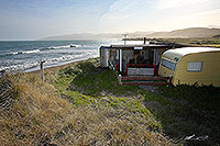 |
| Seaside bach or crib, Flat Point |
 |
 |
|
|
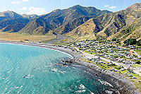 |
| Ngawi fishing village, Wairarapa |
 |
 |
|
|
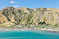 |
| Ngawi fishing village, Wairarapa |
 |
 |
|
|
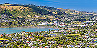 |
| Porirua City from Titahi Bay |
 |
 |
|
|
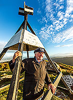 |
| Bill Robertson, Surveyor General |
 |
 |
|
|
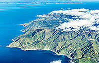 |
| Wellington's South Coast, Cook Strait |
 |
 |
|
|
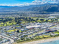 |
| Hutt Valley, Petone, Ava, Alicetown |
 |
 |
|
|
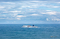 |
| Interislander crossing Cook Strait |
 |
 |
|
|
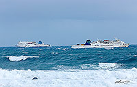 |
| Cook Strait ferries passing |
 |
 |
|
|

![]()
![]()
![]() | Contact Us | Blog
| Contact Us | Blog