|
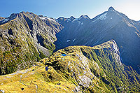 |
| Mackinnon Pass, Milford Track |
 |
 |
|
|
|
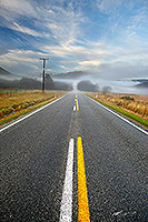 |
| Looking along the misty highway |
 |
 |
|
|
 |
| Lake Pukaki, Mt Cook panorama |
 |
 |
|
|
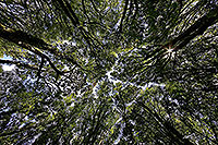 |
| Looking skywards through trees |
 |
 |
|
|
 |
| Lake Ohau, Mackenzie basin |
 |
 |
|
|
 |
| Hopkins valley, Southern Alps |
 |
 |
|
|
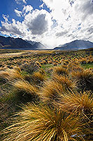 |
| Rangitata Valley, Mt Potts |
 |
 |
|
|
|
|
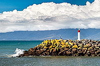 |
| Buller River mouth, Westport |
 |
 |
|
|
 |
| Makara coast wind farm, West Wellington |
 |
 |
|
|
 |
| Sugarloaf Islands, New Plymouth |
 |
 |
|
|
 |
| Mt Taranaki and dairy farmland |
 |
 |
|
|
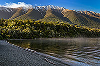 |
| Lake Rotoiti, Nelson Lakes National Park |
 |
 |
|
|
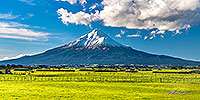 |
| Mt Taranaki and farmland pano |
 |
 |
|
|
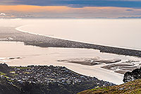 |
| Christchurch and Pegasus Bay |
 |
 |
|
|
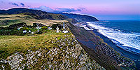 |
| Baring Head lighthouse, Wellington |
 |
 |
|
|
 |
| Aoraki Mt Cook and Tasman Valley |
 |
 |
|
|
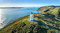 |
| Pencarrow head light, Wellington harbour |
 |
 |
|
|
 |
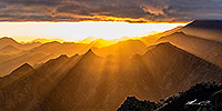
| Awatere Valley sunrise, misty ridges |
 |
 |
|
|
 |
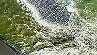
| Awatere Valley sunrise, Gladstone Downs |
 |
 |
|
|
 |
| Lake Ferry outlet, South Wairarapa |
 |
 |
|
|
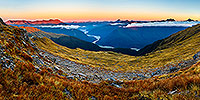 |
| Panorama of Haast River Valley |
 |
 |
|
|
 |
| Baring Head lighthouse, Wellington |
 |
 |
|
|
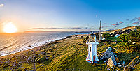 |
| Baring Head lighthouse, Wellington |
 |
 |
|
|
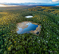 |
| Lake Rotokura, Karioi, Ohakune |
 |
 |
|
|
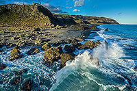 |
| Baring Head, Wellington Harbour entrance |
 |
 |
|
|
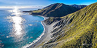 |
| Wellington's South Coast, Cook Strait |
 |
 |
|
|

![]()
![]()
![]() | Contact Us | Blog
| Contact Us | Blog